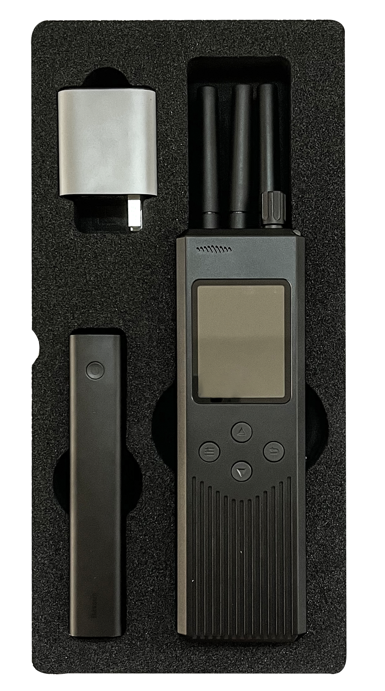
DJI Drone 3km Handheld Detection Positioning , RID Identification Device
Product Introduction
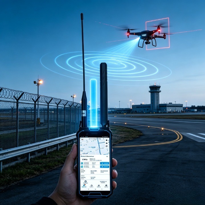
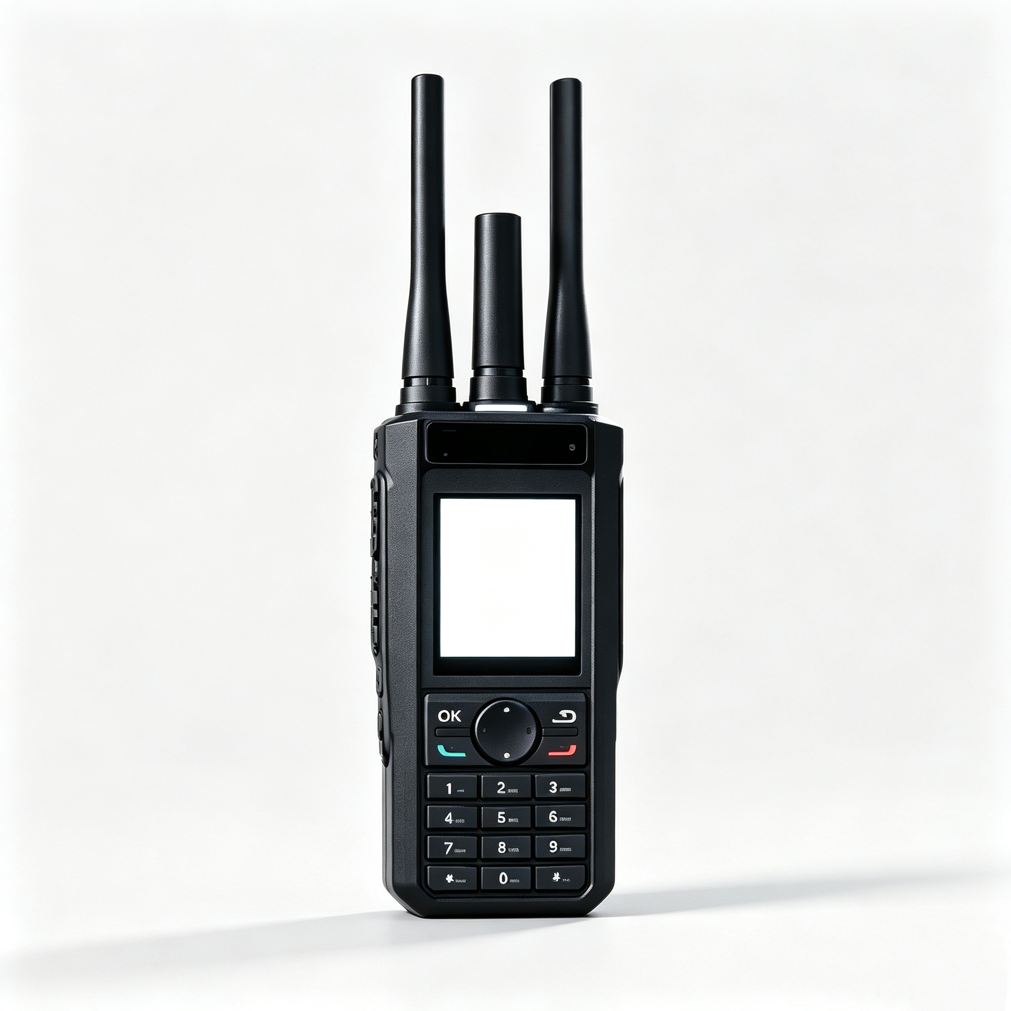
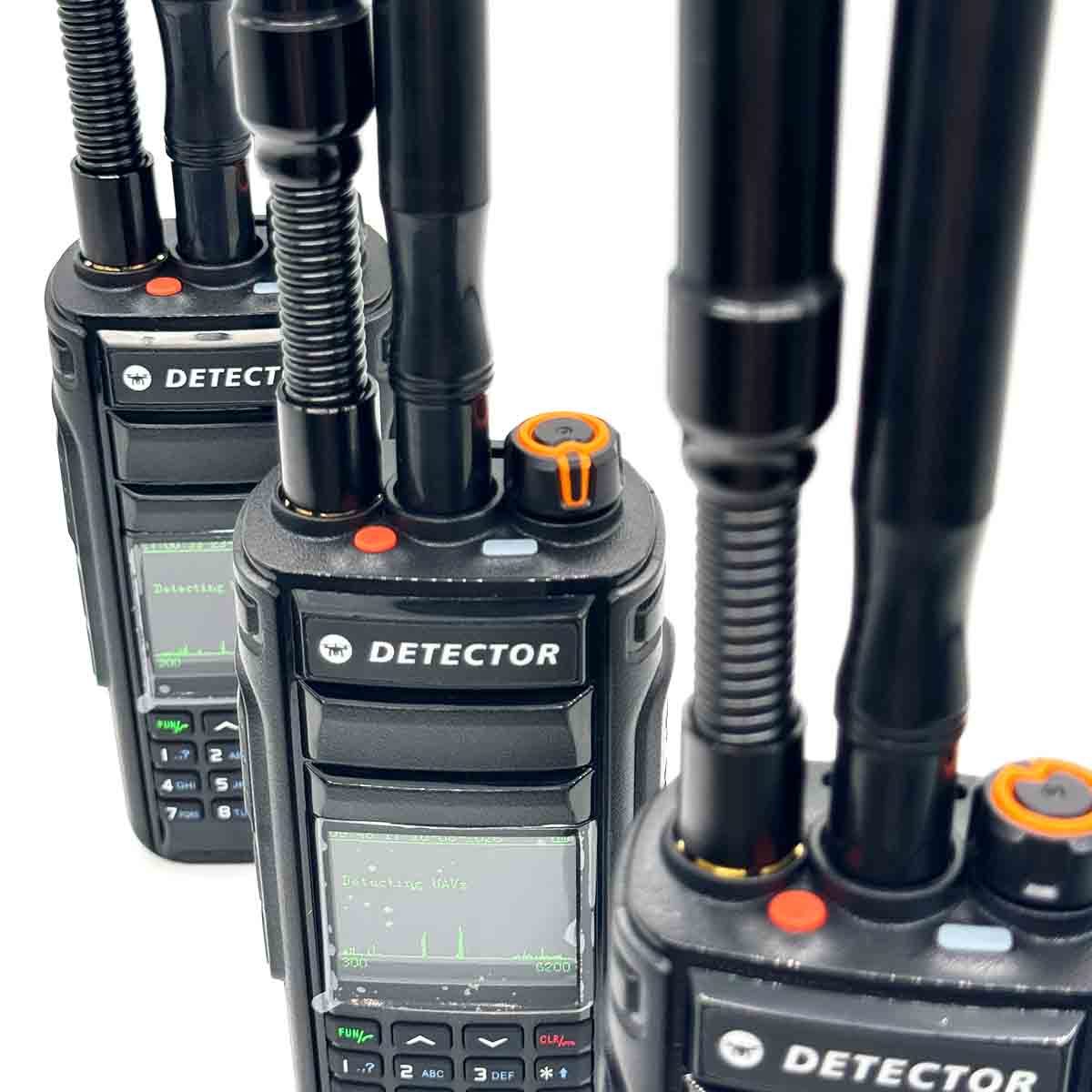
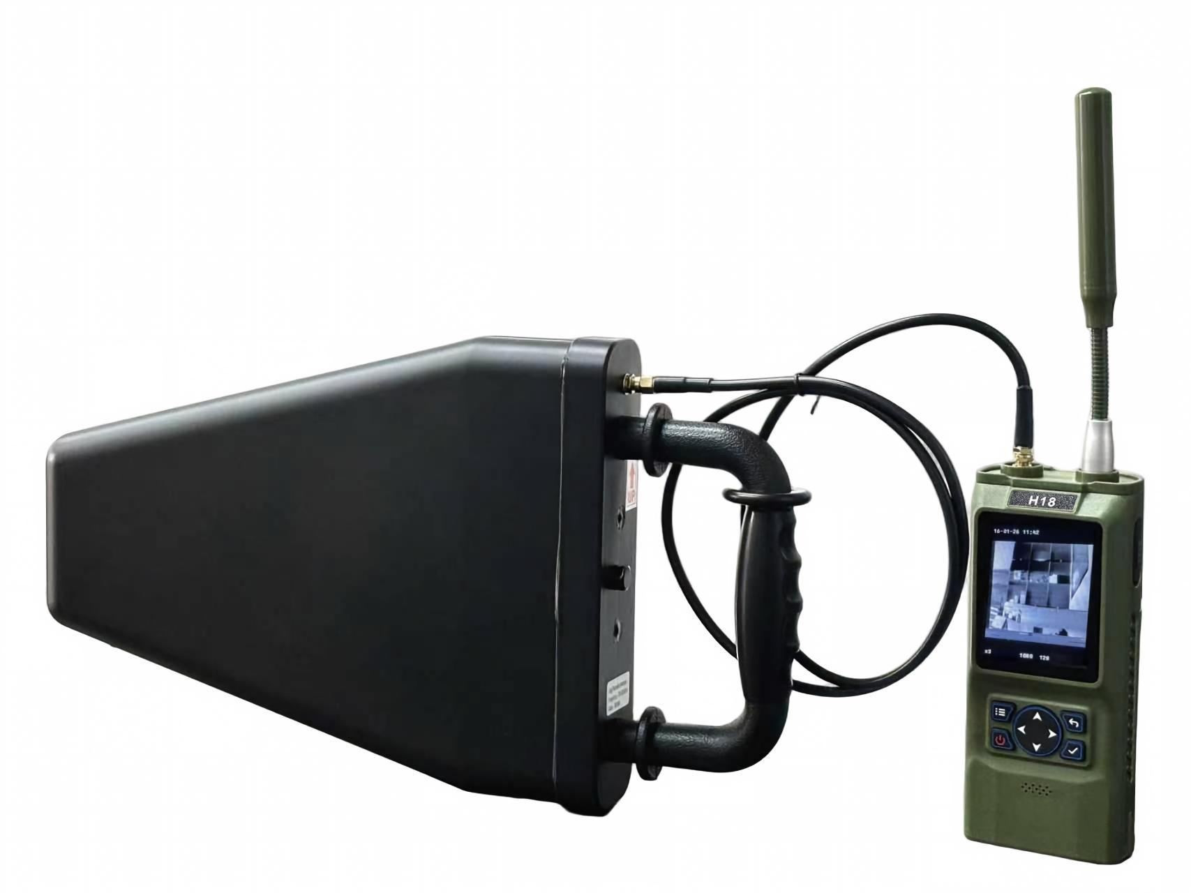
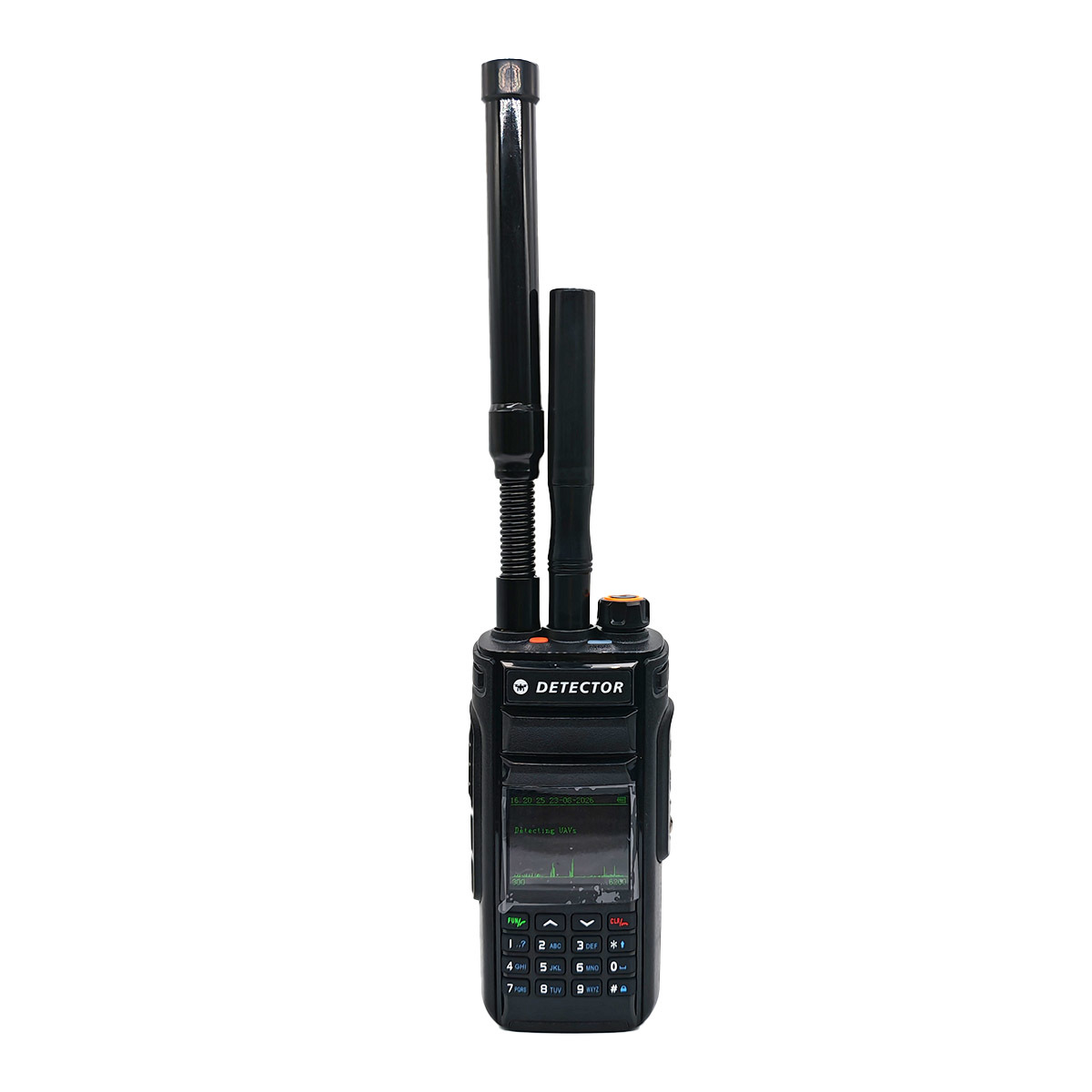
H2L Pro is a single-soldier portable product integrating uav spectrum detection, protocol analysis, RID identification and other regulatory functions. The single machine can realize real-time detection and early warning of UAV, and accurate positioning and trajectory tracking of common UAV and pilots (remote control).
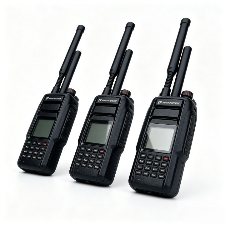
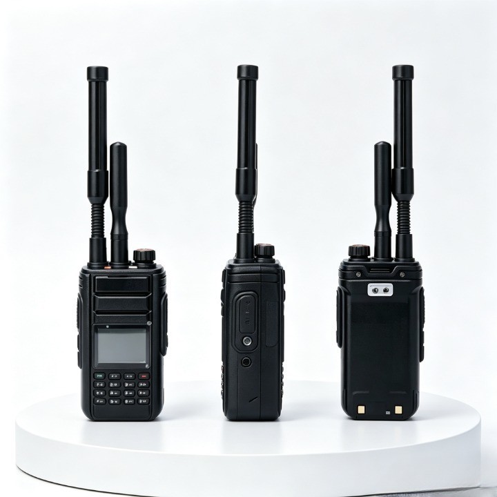
The product has a compact appearance, is easy to carry, and has a long battery life. It can be used for low-altitude security operations in scenarios such as major events, guard mission support, public security patrols, special counter-terrorism, political core areas, border defense, airports, and electric power and petrochemical parks.
Product Features
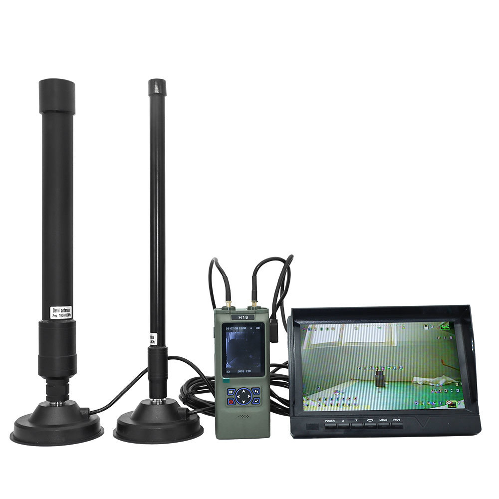
- Racing drone detection: Newly upgraded low-frequency FPV detection capability, which can cover the frequency bands of most homemade racing drones.
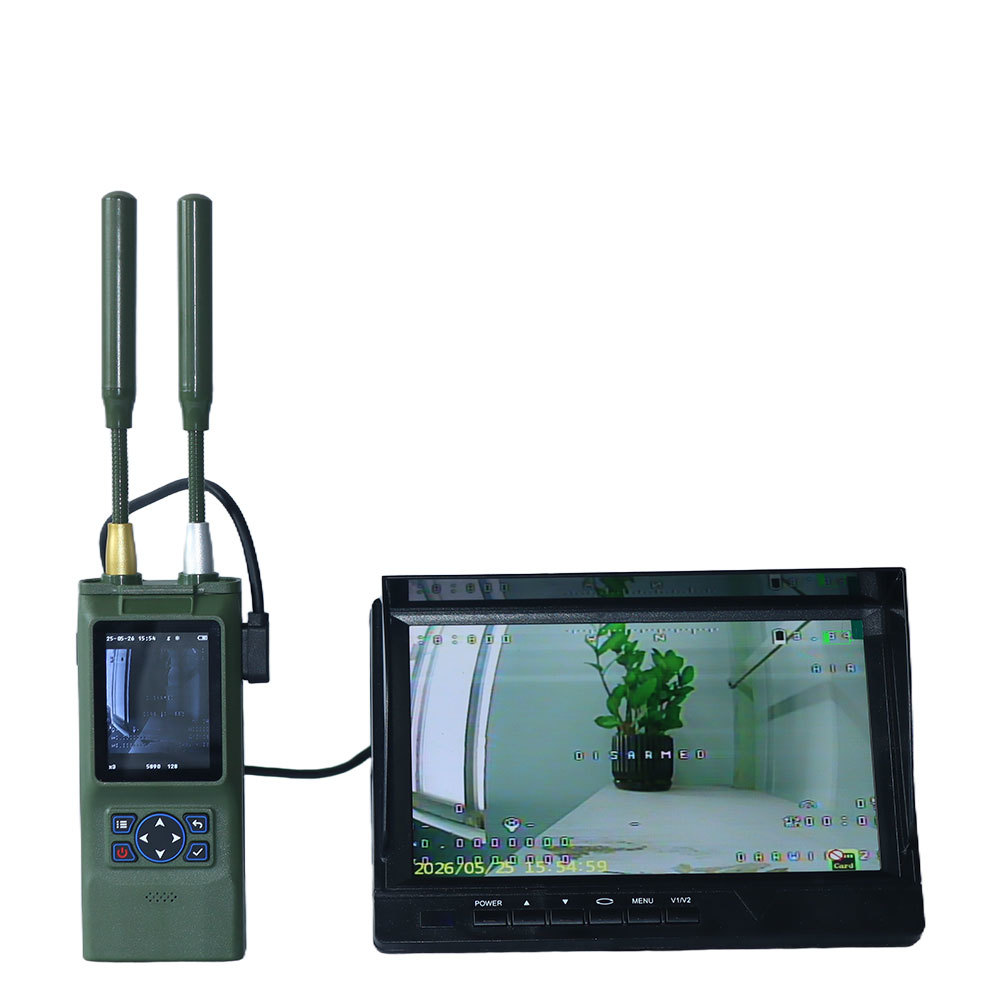
- Image demodulation: Real-time parsing of the first-person view (FPV) flight footage of FPV drones, with clearer image demodulation.
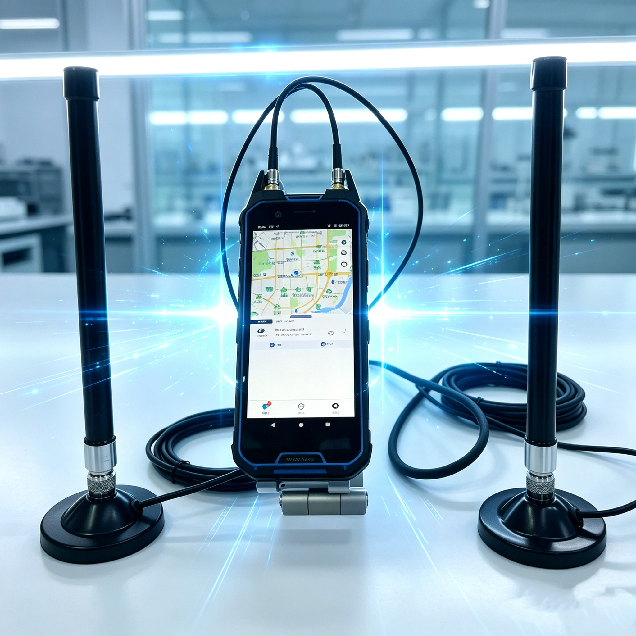
- Portable and easy to use: When detecting and positioning common drones such as DJI and Autel, this device can operate normally without an external antenna, making it more portable and user friendly.
- Comprehensive regulatory coverage: Capable of detecting over 900 types of drones, including DJI (including O4), Autel, Feimi, etc.
- Networking and interconnection: Can be connected to the low-altitude management platform to realize multi-device linkage and intelligent unified dispatching management of security zones.
- Mobile and portable: The device weighs only ~658g, is portable for individual soldiers, and can be used immediately after being turned on.


Product Specificaiton
| tem |
Performance Index |
Indicator Parameters |
Remarks |
| 1 |
Detection frequency band |
100MHz~6GHz |
|
| 2 |
Detection radius |
1.5~2km (urban environment) |
|
| 2~3km (open area environment) |
| 3 |
Response time |
3~ 5s |
|
| 4 |
Positioning range |
1~2km (urban environment) |
|
| 2~ 3km (open area environment) |
| 5 |
Detect the quantity |
≥10 sorties (simultaneously) |
|
| 6 |
Time of endurance |
3~ 4h |
|
Product Functions
- Drone detection and identification: Detects and identifies various commercial drones including DJI, AUTEL, WiFi drones, FPVs, and some DIY models
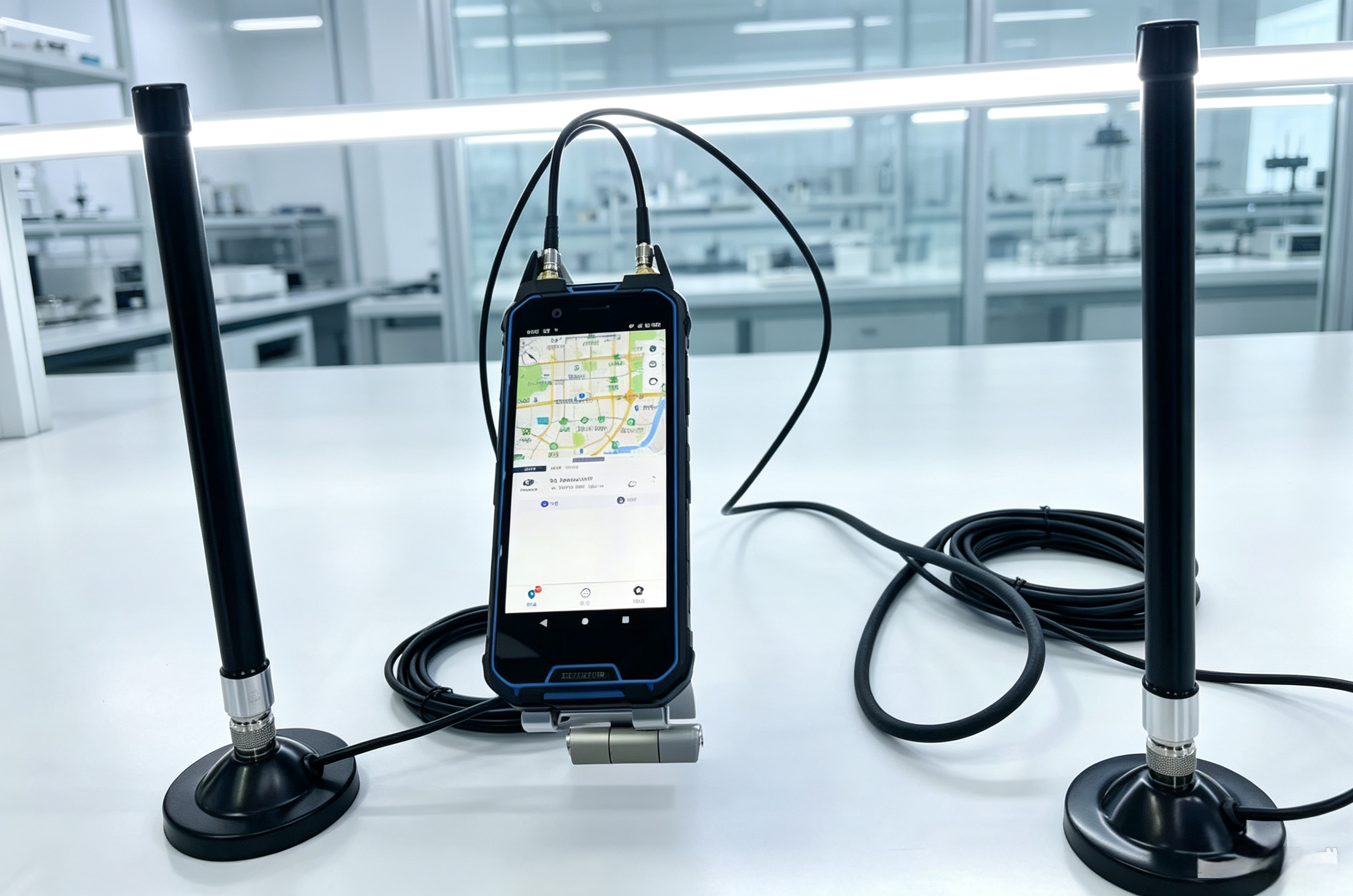
- Trajectory tracking and display: Displays real-time flight paths on GIS mapping
- Pilot position display: Tracks and displays pilot (remote controller) location with real-time updates
- Detailed drone information: Displays comprehensive data including drone ID, frequency, coordinates, model, altitude, and pilot distance metrics
- Unique identification: Recognizes each drone's unique S/N number
- Black and white list: Differentiates between authorized and unauthorized drones (DJI series only)
- Intrusion alarm: Audible and visual alerts for drone detection
- Map operation: Supports both online and local mapping
- Map types: Compatible with multiple digital maps including AutoNavi, Bing, Baidu, and Google
- Historical data playback: Records and replays drone trajectories, models, and pilot locations
- Data query: Time-based historical data retrieval
- Data statistics: Graphical analysis of historical detection data
- Drone swarm tracking: Simultaneous tracking of multiple drones with color-coded trajectories
- Multi-device networking: Centralized management of multiple devices through backend platform
Note: Functions 1-6 apply specifically to DJI Mavic, Air, Mini, FPV, and Avata series drones.