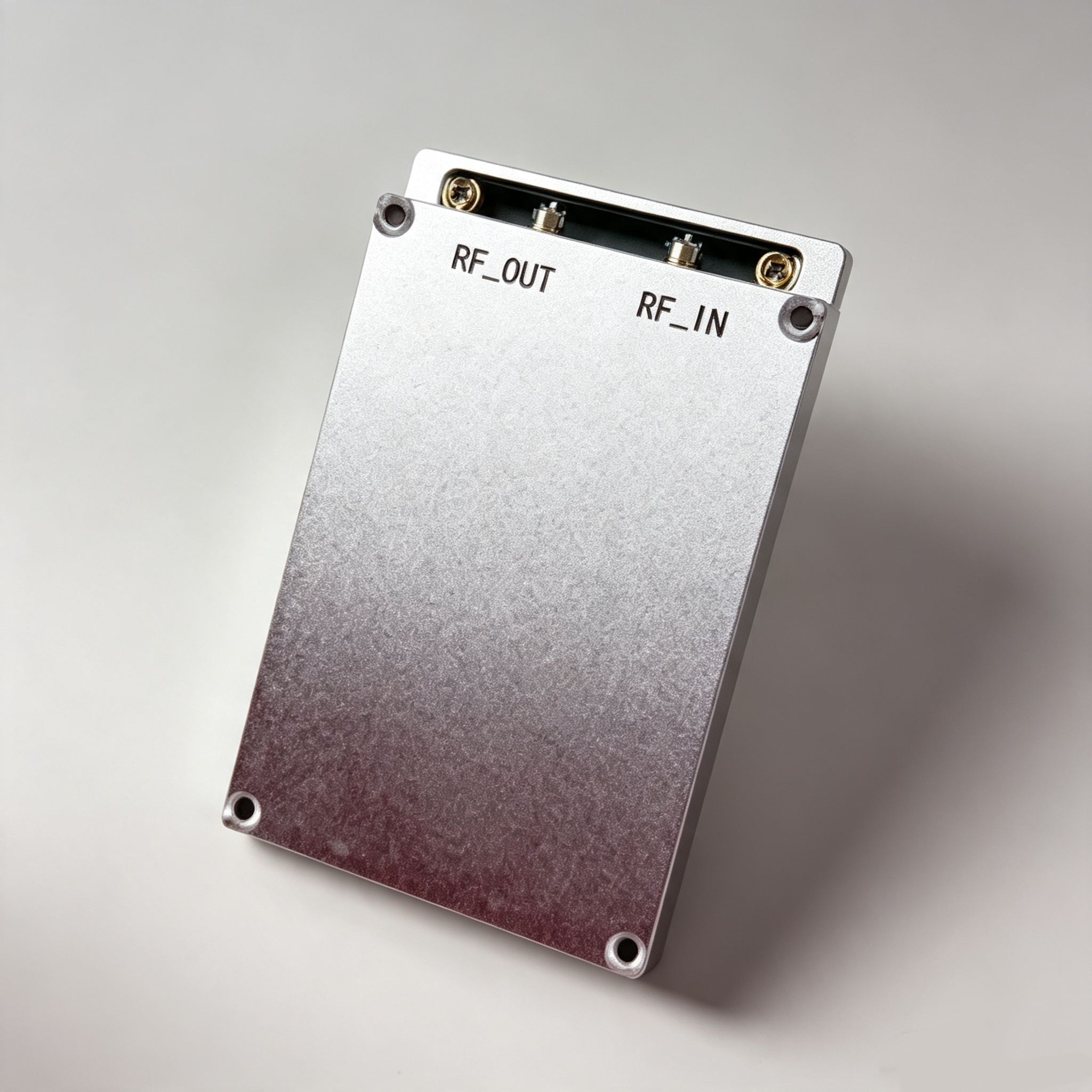
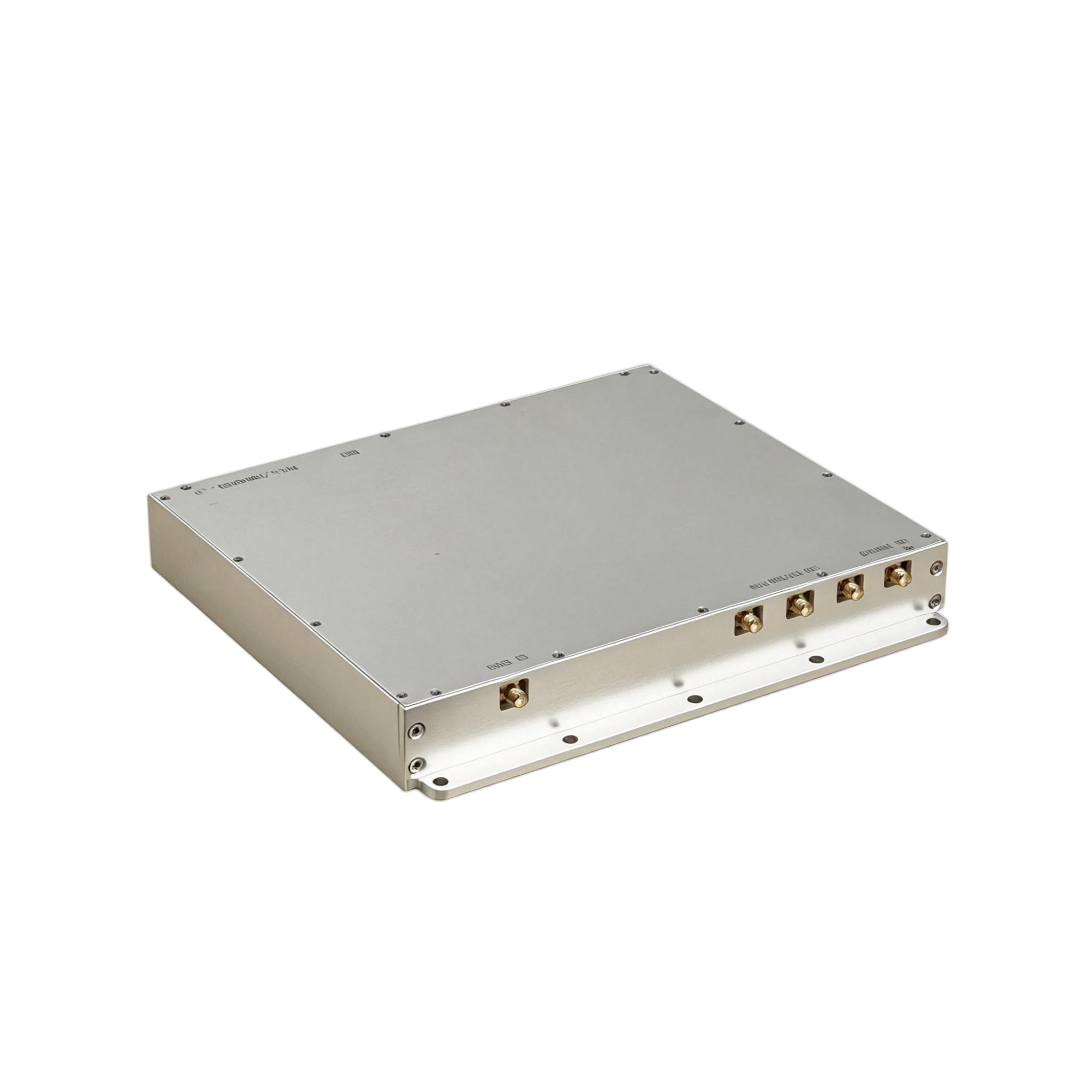
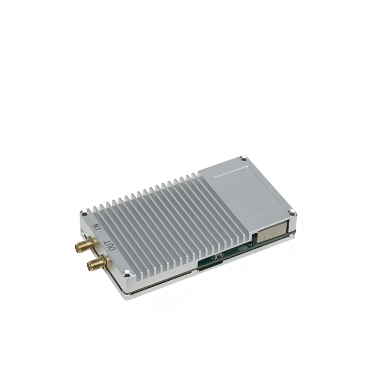
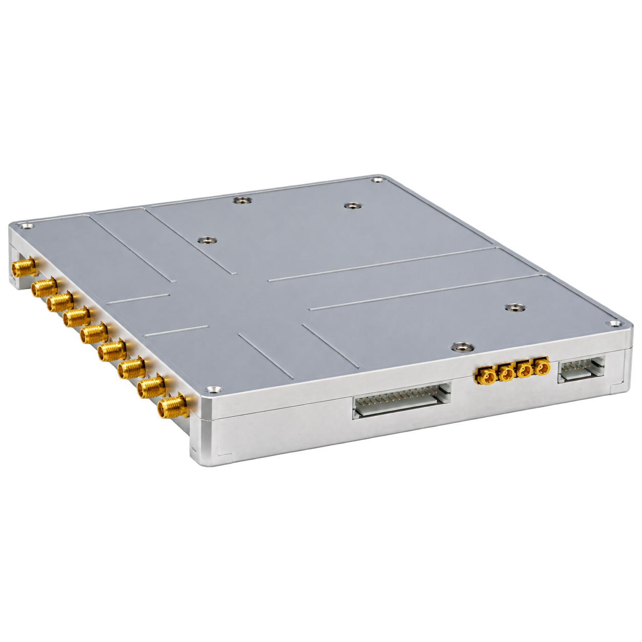
Specifications
Supply Ability :
5000
Input voltage: :
DC10 ~ 36 V
Model Number :
RSM13
GNSS signal reception bands: :
BDS,GPS,GLONASS,Galileo,QZSS,NAVIC,S wave band
Payment Terms :
T/T
Operating temperature: :
–30°C ~ +70°C (Compliant with GJB1621.7A-2006)
Certification :
CE
Power adjustment range: :
0~80 dB
MOQ :
1~50
Packaging Details :
Carton
Power-on startup time: :
10 s
Dimensions (L × W × H): :
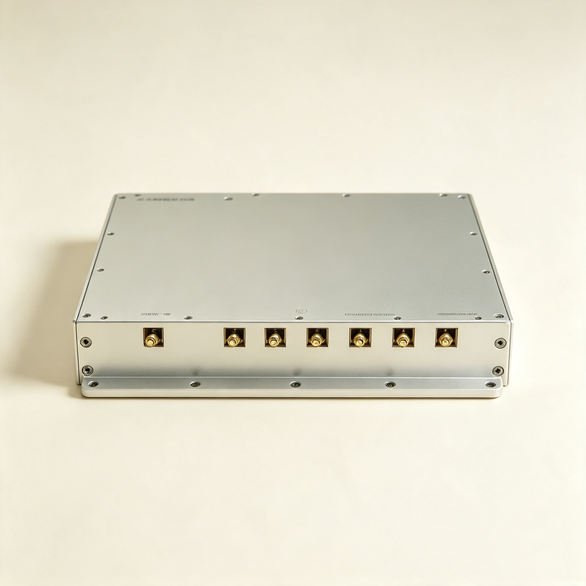
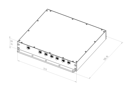
210 mm × 200.4 mm × 32 mm
Place of Origin :
China
Maximum operational distance: :
2 km(Actual distance may vary depending on transmitting antenna specifications, electromagnetic environment, and UAV model.)
Delivery Time :
5-8 Days
Product power consumption: :
20 W
Brand Name :
Roviyno
Price :
11,000~10,800
Product Name: :
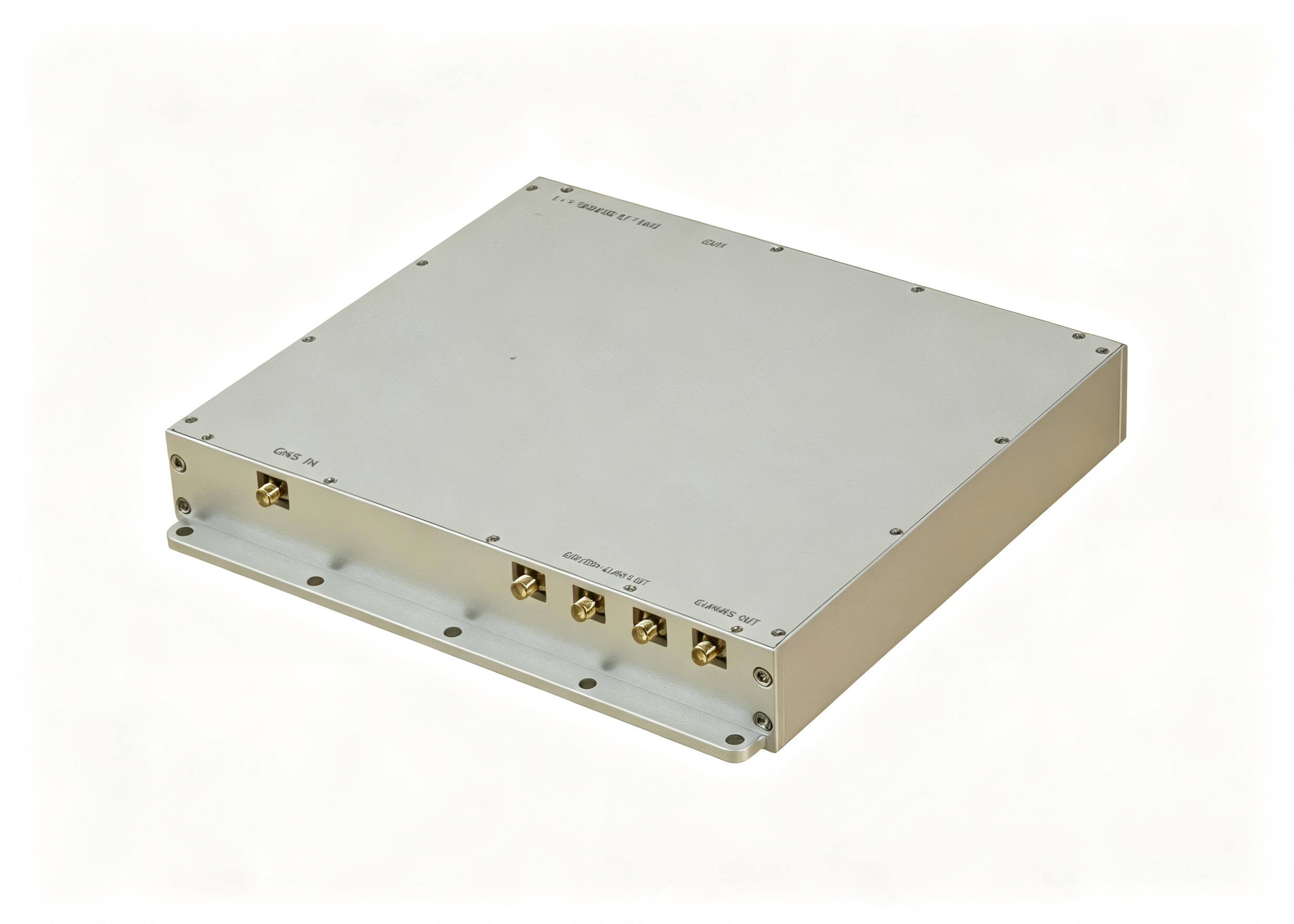
13 Frequency Point Navigation Signal Source Module
Weight: :
900g
Description

13 Spoofing Module-Spoof GPS/BeiDou/GLONASS & Galileo Navigation Satellite Signal

  • 1. Product introduction

This module simulates real-time GPS, GLONASS, BDS, and Galileo signals to spoof drone navigation receivers. It enables precise position, velocity, and time manipulation for targeted diversion, hovering, forced landing, or takeoff prevention.Controlled via communication protocols or external buttons, it features one-click signal generation. Its compact, lightweight, and highly integrated design makes it ideal for handheld counter-drone systems. Perfect for petrochemical, power, law enforcement and security defense..

Precision GPS BeiDou GLONASS And Galileo Navigation Spoofing Module Satellite Signal

2. Main Functions

Ø It features all-round, round-the-clock drone defense capabilities.

Ø The system can be used to guide and deceive the UAV which is dependent on the navigation satellite positioning system, and realize the functions of driving away, course guidance, circular movement, forced landing, flight ban, crash, etc. With the help of the precision detection equipment, the system can realize the forced landing of the UAV at a designated point.

Ø It features a spoofing coordinate simulation function to replicate any latitude and longitude coordinates on the ground. It supports generating static and dynamic point trajectories to spoof the drones positioning to the simulated coordinates.

Ø It has the function of receiving navigation satellite signal and delay compensation, and can realize the time synchronization with the satellite in orbit. It can adjust the channel delay according to the deception distance to achieve the best deception effect.

Ø It has the functions of downloading, loading, automatic storage, automatic updating and automatic calculating of satellite ephemeris, which can obtain the ephemeris of navigation satellite in orbit and complete the signal simulation and transmission in the case of no signal reception.

Ø Includes device self-check and anomaly reporting features.

Ø Provide standard interfaces and protocols to support user secondary development and integration.

Ø Support navigation satellite frequency point and function customization development.

3. Technical Index

Supports spoofing of L band navigation satellite signal systems and frequencies, as well as suppression interference in S-band, including BDS, GPS, GLONASS, Galileo, QZSS, and Navic.

Table 3-1 Configuration List of Signal Frequency Points for Navigation Signal Source Module

No.

Navigation Band

Center Frequency (MHz)

Channel Bandwidth (MHz)

1

BDS B1I

1561.098

4.092

2

BDS B2I

1207.14

4.092

3

BDS B2a

1176.45

20.46

4

BDS B3I

1268.52

20.46

5

BDS B1C

1575.42

32.736

6

GPS L1 C/A

1575.42

2.046

7

GPS L2 C/A

1227.6

2.046

8

GPS L5

1176.45

20.46

9

GLONASS G1

1602

8.3345

10

GLONASS G2

1246

6.7095

11

Galileo E1

1575.42

14.322

12

Galileo E5a

1176.45

20.46

13

Galileo E6

1278.75

10.23

4. Supports effective navigation deception for multiple drones, including those from Autel and DJI.

Table 4-1List of typical drones that are effective at deceiving

Serial Number Drone brand Drone Model
1 Autel Autel 4T
2 Autel V3
3 AutelLite
4 DJI Mavic 4 Pro,Mavic 3 Pro,Mavic 2 Pro etc.
5 Air3,Air2s,Air2 etc.
6 Mini4P,Mini3,Minise etc.

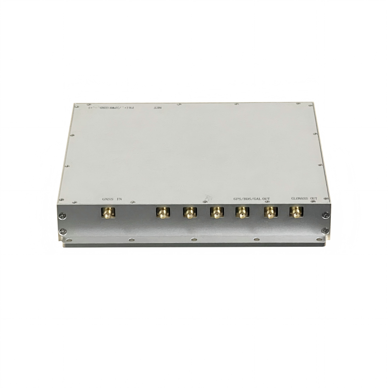
5. Schematic diagram of product interface

Precision GPS BeiDou GLONASS And Galileo Navigation Spoofing Module Satellite Signal

6. Standard Package Contents

No.

Name

Qty

Specification

Remarks

Hardware

1

Navigation Signal Source Module Pro6

1

SS02C6

2

Accessories

1

Power connector, heatsink

3

Packing box

1

4

2-in-1 combiner

1

PD2S1-0.8-2.7

Optional

5

4-in-1 combiner

1

PD4S1-0.8-2.7

Optional

6

Navigation signal receiving antenna

1

RXATN-MASH01

Optional

7

1.5 GHz navigation signal transmitting antenna

1

TXATN-BLG-20

Optional

8

1.2 GHz navigation signal transmitting antenna

1

TXATN-BLG-1.2G

Optional

Software

9

Host PC software

1

Documentation

10

User manual

1

Electronic version

11

Communication protocol

1

Electronic version

12

Factory test report

1

Paper copy

13

Certificate of Conformity

1

Paper copy

Send your message to this supplier
Send Now

Precision GPS BeiDou GLONASS And Galileo Navigation Spoofing Module Satellite Signal

Ask Latest Price
Supply Ability :
5000
Input voltage: :
DC10 ~ 36 V
Model Number :
RSM13
GNSS signal reception bands: :
BDS,GPS,GLONASS,Galileo,QZSS,NAVIC,S wave band
Payment Terms :
T/T
Operating temperature: :
–30°C ~ +70°C (Compliant with GJB1621.7A-2006)
Contact Supplier
Precision GPS BeiDou GLONASS And Galileo Navigation Spoofing Module Satellite Signal

Roviyno Intelligent Technology Co., Limited

Verified Supplier
1 Years
Business Type :
Manufacturer
Total Annual :
2000000-2000000
Certification Level :
Verified Supplier
Contact Supplier
Submit Requirement