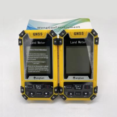
Specifications
Brand Name :
WangGan
Model Number :
S4
Place of Origin :
China
MOQ :
2
Price :
$78-$85
Payment Terms :
T/T, Western Union,
Supply Ability :
10000 sets/month
Delivery Time :
8 working days
Packaging Details :
19*15*9cm 0.4kg
Machine name :
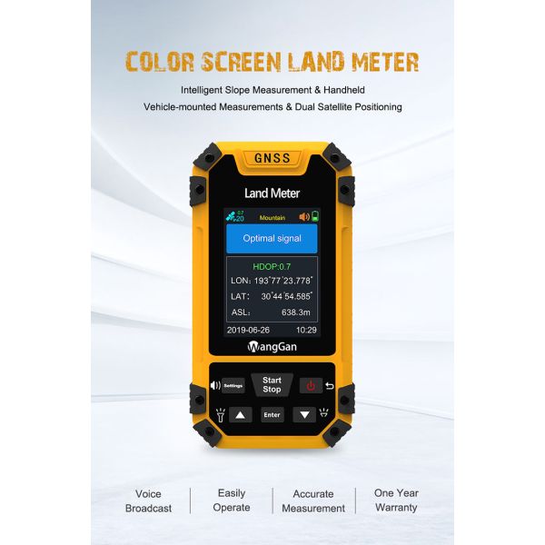
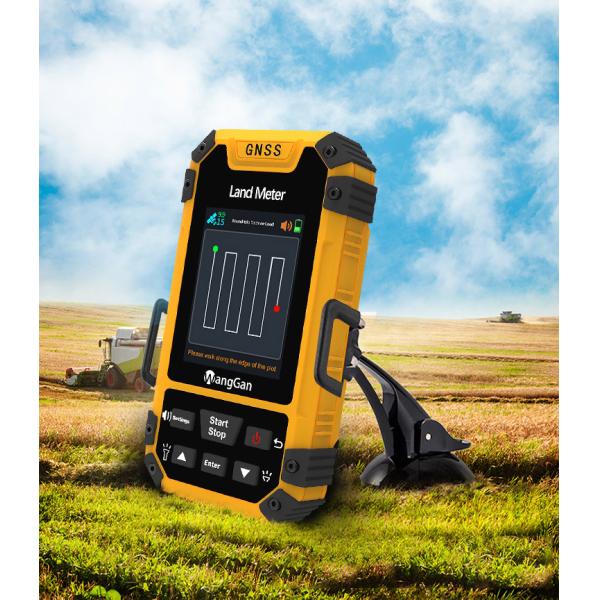
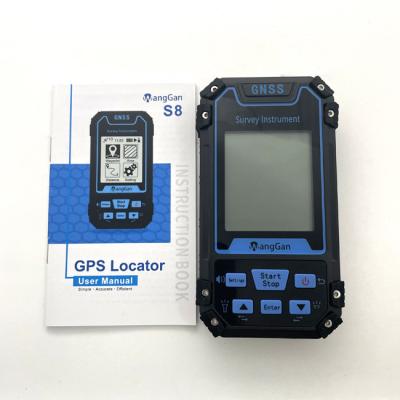
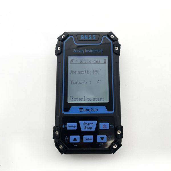
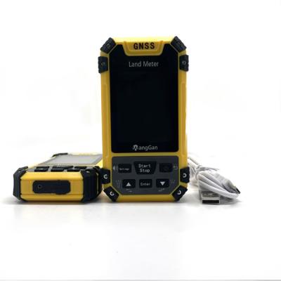
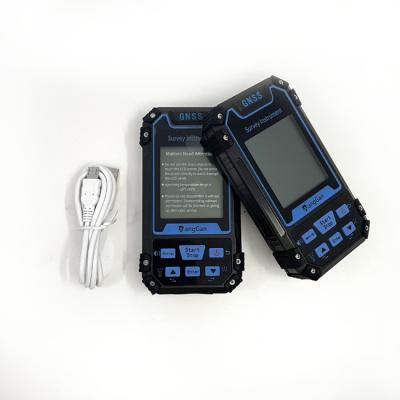
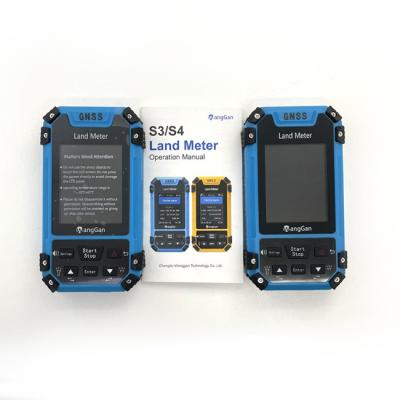
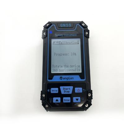
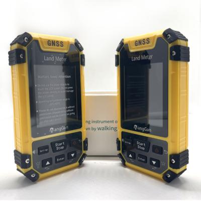
GPS Land Survey Equipment
Use range :
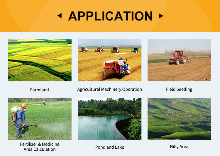
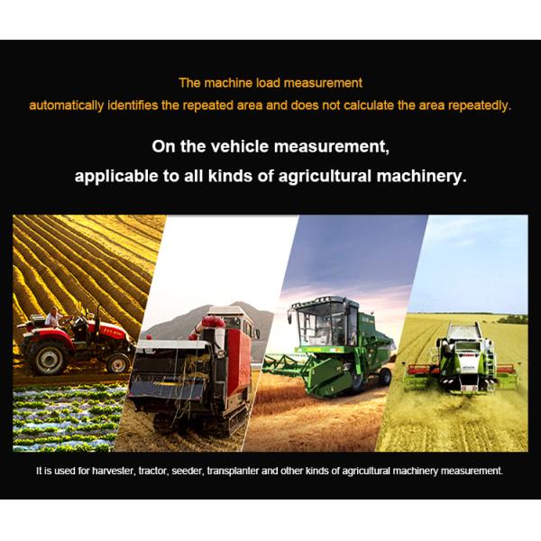
Farmland, Pond Or Lake, Outdoor Survey etc
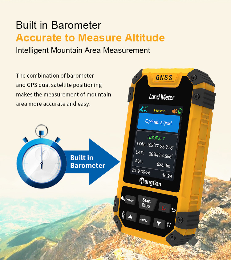
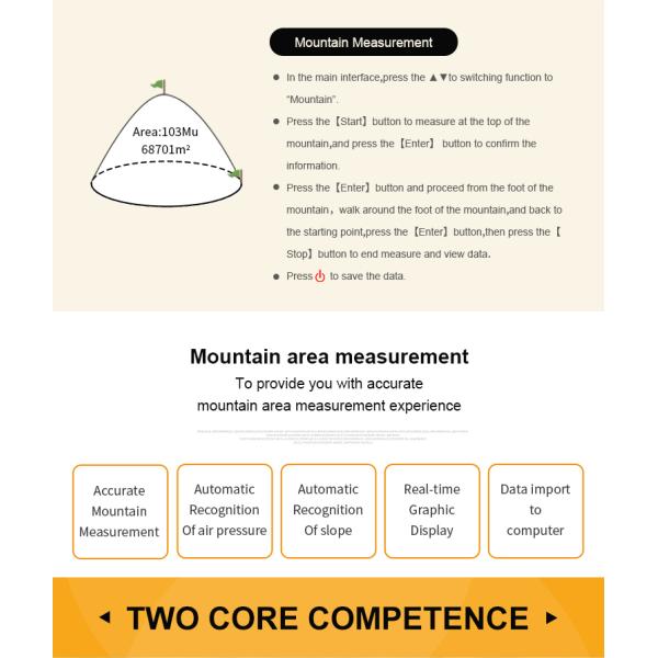
Mountain measurement :
Support
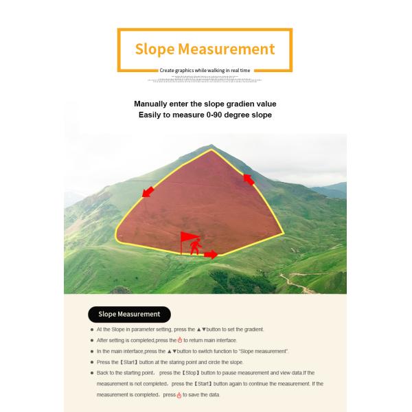
Slope measurment :
Support
Application :
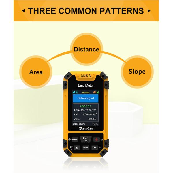
Flat, Slope, Mountain Distance Area Measurement
Package size :
19*15*9cm
Package weight :
0.4kg
Feature :
Handheld GPS Survey Equipment
Description

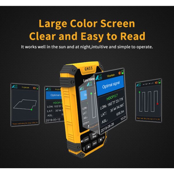
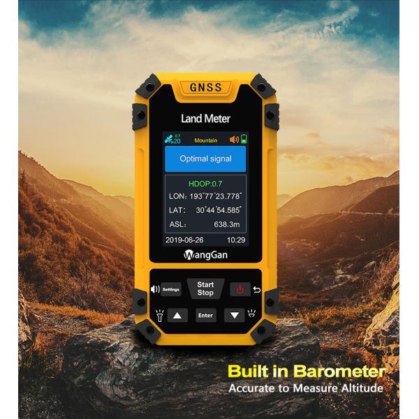
GPS Slope Mountain Flat Measurement GPS Land Survey Equipment

Product Function Introduction Of GPS Land Survey Equipment:

Model
Functions
S3 S4
Positioning accuracy 2.5m 2.5m
Initial barometric calibration × √
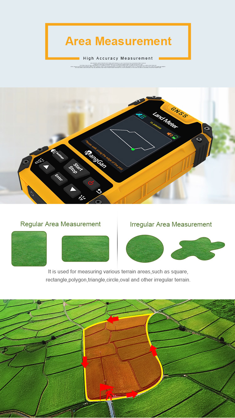
Normal area measurement √ √
Mountain area measurement × √
Intell. Slope measurement × √
Fixed point measurement √ √
Fixed width area measurement √ √
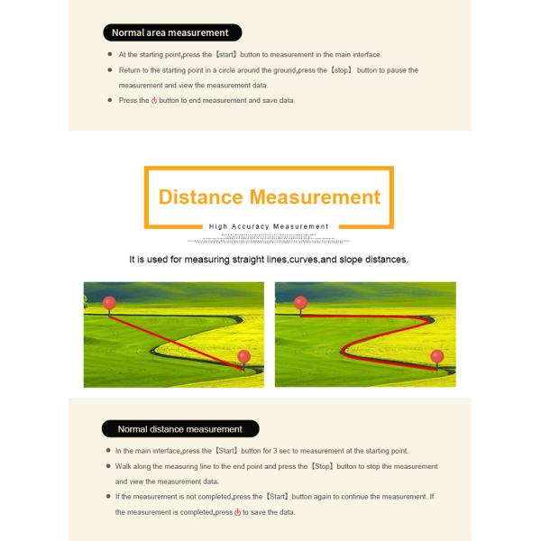
Normal distance measurement √ √
Manual distance measurement √ √
Altitude display √ √
Altitude measurement √ √
Track display √ √
Mu setting √ √
Unit setting √ √
Time display √ √
Data statistics √ √
Historical record √ √
Lighting /Currency detection √ √
Dry battery √ √
lithium battery √ √
Data storage 200 200
Voice broadcast √ √
Data export × √

Altitude GPS Land Area Measuring Instrument Flat Measurement

Altitude GPS Land Area Measuring Instrument Flat Measurement

Altitude GPS Land Area Measuring Instrument Flat Measurement

Altitude GPS Land Area Measuring Instrument Flat Measurement

Altitude GPS Land Area Measuring Instrument Flat Measurement

Altitude GPS Land Area Measuring Instrument Flat Measurement

Altitude GPS Land Area Measuring Instrument Flat Measurement

Altitude GPS Land Area Measuring Instrument Flat Measurement

Altitude GPS Land Area Measuring Instrument Flat Measurement

Altitude GPS Land Area Measuring Instrument Flat Measurement

Altitude GPS Land Area Measuring Instrument Flat Measurement

Altitude GPS Land Area Measuring Instrument Flat Measurement

Altitude GPS Land Area Measuring Instrument Flat Measurement

Altitude GPS Land Area Measuring Instrument Flat Measurement

Altitude GPS Land Area Measuring Instrument Flat Measurement

Altitude GPS Land Area Measuring Instrument Flat Measurement

Functions S4
Positioning accuracy 2.5m
Initial barometric calibration √
Normal area measurement √
Mountain area measurement √
Intell. Slope measurement √
Fixed point measurement √
Fixed width area measurement √
Normal distance measurement √
Manual distance measurement √
Altitude display √
Altitude measurement √
Track display √
Mu setting √
Unit setting √
Time display √
Data statistics √
Historical record √
Lighting /Currency detection √
Dry battery √
lithium battery √
Data storage 200
Voice broadcast √
Data export √
Send your message to this supplier
Send Now

Altitude GPS Land Area Measuring Instrument Flat Measurement

Ask Latest Price
Brand Name :
WangGan
Model Number :
S4
Place of Origin :
China
MOQ :
2
Price :
$78-$85
Payment Terms :
T/T, Western Union,
Contact Supplier
Altitude GPS Land Area Measuring Instrument Flat Measurement

Chengdu Wanggan Technology Co., Ltd.

Active Member
6 Years
chengdu
Since 2017
Business Type :
Manufacturer
Total Annual :
10 Million-50 Million
Employee Number :
11~50
Certification Level :
Active Member
Contact Supplier
Submit Requirement