Specifications
Payment Terms :
T/T
MOQ :
1set
Delivery Time :
3-7work days
Navigation Accuracy :
1-2m
Navigation Positioning :
Within 300km range of reference station spacing
Brand Name :
Panda
Price :
contact us
Real-time Precise Positioning :
Within the regional reference station network (station spacing <70km) and up to 30km outside the network
Real-time Precise Positioning Accuracy :
Horizontal: Better than 3cm, Vertical: Better than 5cm
Supply Ability :
100 sets per Month
Place of Origin :
China
Description
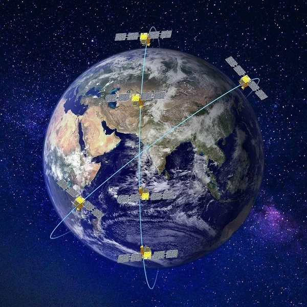
PandaNRTK Enterprise GNSS Correction Service Platform

PandaNRTK is designed for agencies, infrastructure providers, and geospatial organizations requiring reliable management of large-scale GNSS correction services.

The platform integrates reference network operations with real-time computation and service delivery. By combining network processing and system management functions, PandaNRTK provides a practical framework for deploying high-precision positioning services across regional or nationwide environments.

Flexible Service Modes

Different application scenarios often require different correction strategies. PandaNRTK supports multiple positioning service modes, including:

  • Single-base RTK
  • Network RTK
  • PPP-RTK

Differential positioning services

This flexibility allows operators to build service structures suitable for surveying, transportation, smart infrastructure, and industrial applications.

Coordinate Transformation and Data Security

Projects operating in regional coordinate systems frequently require secure transformation methods. PandaNRTK supports real-time coordinate conversion while using encryption and parameter isolation technologies to help protect sensitive data.

Platform Compatibility

The system supports common industry correction formats and is compatible with a wide range of GNSS receivers from mainstream manufacturers, allowing integration into existing infrastructure environments.

Technical Parameters:

Accuracy & Availability

Real-time Precise Positioning Accuracy

Horizontal: Better than 3cm, Vertical: Better than 5cm

Navigation Accuracy

1-2m

Service Availability

≥95%

Coverage Range

Real-time Precise Positioning

Within the regional reference station network (station spacing <70km) and up to 30km outside the network

Navigation Positioning

Within 300km range of reference station spacing

System Compatibility

Satellite Signals

BDS B1, B2, B3; GPS L1, L2, L5; GLONASS L1, L2; Galileo E1/E5/E6

Differential Formats

RTCM2.X, RTCM3.X, CMR, CMR+

Receiver Compatibility

Compatible with reference station and rover receivers from mainstream domestic and international manufacturers

Service & Deployment

Data Broadcast Methods

Supports differential data broadcast services via Internet, data broadcasting, radio, satellite, and other communication methods

Positioning Service Modes

Regional Single-base RTK, Network RTK, Wide-area/Regional fused Real-time Precise Point Positioning (*PPP-RTK); Single-base Pseudorange Differential, Network Pseudorange Differential

System Operating Environment

Windows / Linux

*PPP-RTK is under development and validation. Support will be included in a future software release.

Application Cases
Cambodia CORS Malaysia CORS Italy CORS Türkiye CORS
PandaNRTK Enterprise GNSS Correction Service Platform
Send your message to this supplier
Send Now

PandaNRTK Enterprise GNSS Correction Service Platform

Ask Latest Price
Payment Terms :
T/T
MOQ :
1set
Delivery Time :
3-7work days
Navigation Accuracy :
1-2m
Navigation Positioning :
Within 300km range of reference station spacing
Brand Name :
Panda
Contact Supplier
PandaNRTK Enterprise GNSS Correction Service Platform

Wuhan Tianbaonet Sci & Tec Co.,Ltd

Verified Supplier
1 Years
wuhan
Since 2001
Business Type :
Manufacturer
Total Annual :
5000000-7000000
Employee Number :
40~60
Certification Level :
Verified Supplier
Contact Supplier
Submit Requirement