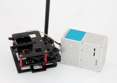
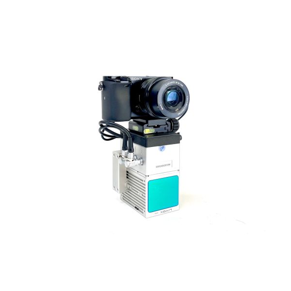
Specifications
Brand Name :
Geosun Navigation
Model Number :
GS-920 LiDAR Scanning System
Certification :
CE, ISO
Place of Origin :
China
MOQ :
1
Price :
Negotiation
Payment Terms :
T/T, Western Union, L/C, Credit Card
Supply Ability :
30 SETS/Month
Delivery Time :
20-30 works days
Packaging Details :
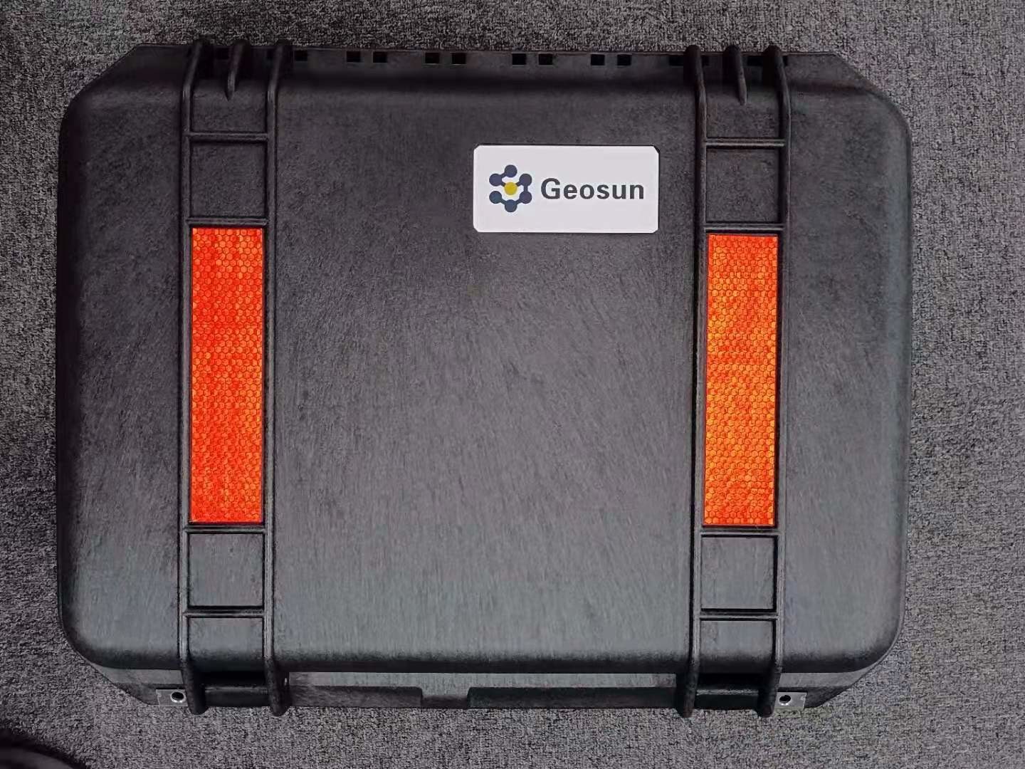
Suit Case 520*420*230 mm
Name :
GS-920LiDAR Scanning System
Dimension :
21.4x88x10.6 cm
Weight :
1.7kg
Working Temperature :
-20℃~50℃
Carrying Platform :
DJI M300/M350/Multi-Rotor/VTOL
Range Accuracy :
5mm
Detection Range :
1000m
Trajectory Software :
Shuttle
Point Cloud Software :
gAirHawk
Description

Long Range Laser Scanning System Supported Seven Echo Colored Point Cloud Free Trajectory Processing

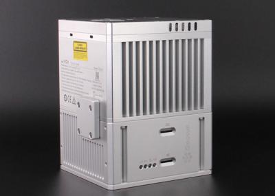
The GS-920 is a cutting-edge high-precision UAV LiDAR scanning system developed by Geosun Navigation. Its integrated design combines surveying-grade LiDAR, a high-performance IMU, and photogrammetric cameras. With long-range capabilities, a lightweight structure, strong penetration, and high efficiency, this system is perfect for terrain surveying, power inspection, emergency mapping, and mining measurement. GS-920 LiDAR Scanning System Brochure.pdf

Application of LiDAR Scanning system

GS-920 High-Performance LiDAR Scanning System With Start And Stop Calculation For Precision Results

Forestry Survey

GS-920 High-Performance LiDAR Scanning System With Start And Stop Calculation For Precision Results

Smart City Construction

GS-920 High-Performance LiDAR Scanning System With Start And Stop Calculation For Precision Results

Terrain Mapping

GS-920 High-Performance LiDAR Scanning System With Start And Stop Calculation For Precision Results

Water Resource Survey

Free trial software of UAV LiDAR Scanning System

Trial Software Information.pdf

Point Cloud Pre-Processing Software Integrated With Trajectory Processing----Geosun Self-developed gAirHawk 5.0
Key Features of gAirHawk 5.0 Software
1. Raw data: intelligently load
2. Four default coordinates
3. Point cloud Optimization
4. Start and stop calculation
Free trial test, achieve high precision

GS-920 High-Performance LiDAR Scanning System With Start And Stop Calculation For Precision Results

GS-920 High-Performance LiDAR Scanning System With Start And Stop Calculation For Precision Results

Specification of LiDAR Scanning System

LiDAR Scanning System gAirHawk GS-920
Item Name System Parameters


GS-920

Parameters

Weight

1.7kg (45MP Camera)

Working temperature -20℃~+50℃
Power range 9 V- 36 V
Consumption 50 W
Carrying Platform DJI M300/M350/Multi-Rotor/VTOL
Storage 256GB

Lidar Unit

Measuring Range 500m@20% Reflectivity; 1000m@80% Reflectivity
Laser class 1550nm Class1 (IEC 60825-1:2014)
Scan Rate 90~300 lines per second
Measuring accuracy 5mm
Max. Range 1000m
Return 7 echos
Point Frequency 100KHZ~1000KHZ
FOV 90°
POS Unit Update frequency 200HZ
Heading accuracy 0.017°
Pitch accuracy 0.005°
Rolling accuracy 0.005°
Position accuracy Horizontal: 0.02m, Vertical: 0.03m
GNSS signal type GPSL1/L2/L5 GLONASSL1/L2 BDS B1/B2/B3 GAL E1/E5a/5b
Model gSpin 310
Pre-processing software POS software Output information: position, speed, attitude
Point cloud software Output point cloud data format: LAS format, custom TXT format
Camera (option) Effective Pixel 45 Mega Pixel
Trigger event Distance or Time trigger
FOV 79°

Package of UAV LiDAR Scanning System

UAV LiDAR scanning system is packed in suit case with EVA material liner inside, then covered by a hard carton box. It is suitable for air shipment and sea shipment.

GS-920 High-Performance LiDAR Scanning System With Start And Stop Calculation For Precision Results

Send your message to this supplier
Send Now

GS-920 High-Performance LiDAR Scanning System With Start And Stop Calculation For Precision Results

Ask Latest Price
Brand Name :
Geosun Navigation
Model Number :
GS-920 LiDAR Scanning System
Certification :
CE, ISO
Place of Origin :
China
MOQ :
1
Price :
Negotiation
Contact Supplier
GS-920 High-Performance LiDAR Scanning System With Start And Stop Calculation For Precision Results

Wuhan Geosun Navigation Technology Co., Ltd

Verified Supplier
5 Years
hubei, wuhan
Since 2015
Business Type :
Manufacturer, Exporter, Trading Company
Total Annual :
300-800
Employee Number :
50~100
Certification Level :
Verified Supplier
Contact Supplier
Submit Requirement